We really need help on completing this project in 5 days. Please help us and it would very much appreciated.
Details :
• Maduino Zero 4G LTE with GPS Module
• iOS and Android
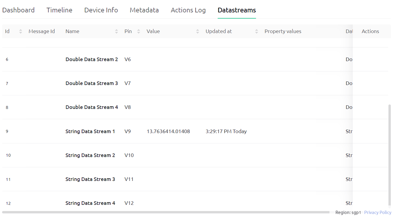
• Blynk server = SGP1
• I don’t have any idea about the blynk library since I am a new user.
• The code below is not mine, since I am just trying out the one I found in YouTube. I followed all and still the device appears offline in the mobile and web Blynk app.
#include <stdio.h>
#include <string.h>


#define DEBUG true
#define MODE_1A

#define DTR_PIN 9
#define RI_PIN 8

#define LTE_PWRKEY_PIN 5
#define LTE_RESET_PIN 6
#define LTE_FLIGHT_PIN 7

String token = "ADD YOU TOKEN HERE";
String from_usb = "";
String loc = "";
String longitude = "";
String lattitude = "";

//FUNCTION TO PASS AT COMMAND

String sendData(String command, const int timeout, boolean debug)
{
  String response = "";
  Serial1.println(command);

  long int time = millis();
  while ( (time + timeout) > millis())
  {
    while (Serial1.available())
    {
      char c = Serial1.read();
      response += c;
    }
  }
  if (debug)
  {
    SerialUSB.print(response);
  }
  return response;
}

//FUNCTION TO CHECK SIGNAL STRENGTH

int check_signal(void)
{
  while(1)
  {
    String sig = sendData("AT+CSQ",3000,DEBUG);
    int i=0;
    String strength;
    while(sig[i]!=':')i++;

    String loc_2 = sig.substring(i+2);

    i=0;
    while(loc_2[i]!=',')i++;

    strength = loc_2.substring(0,i);

    int strength_1 = strength.toInt();
    SerialUSB.println(strength_1);

    return strength_1;
  }
}

//FUNCTION TO GET LATITUDE AND LONGITUDE STRING

void gpsLocation(String local)
{
//  char* loc_2 = local;
//  int p=0;

  while(1)
  {
    int i=0;
    while(local[i]!=':')i++;

    String loc_2 = local.substring(i+2);

    i=0;
    while(loc_2[i]!=',')i++;

    lattitude = loc_2.substring(0,i);
    SerialUSB.println(lattitude);

    int j = i+3;
    int k = j;

    while(loc_2[k]!=',')k++;

    longitude = loc_2.substring(j,k);
    SerialUSB.println(longitude);

    return;

  }
}

//CONVERSION OF GIVEN LATTITUDE FORMAT FROM NMEA TO PARSER

String conversion(String local)
{
  if(local[0]=='0'){
      String str_end = local.substring(3);

      String str_init = local.substring(1,3);

      int val = str_init.toInt();

      double deci_val = str_end.toDouble() ;

      double new_value = val+(deci_val / 60);
      SerialUSB.println(new_value);

      String final_val = String(new_value,5);

      return final_val;
   }
  else if(local[0]!='0')
  {
      String str_end = local.substring(2);

      String str_init = local.substring(0,2);

      int val = str_init.toInt();

      double deci_val = str_end.toDouble() ;

      double new_value = val+(deci_val / 60);
      SerialUSB.println(new_value);

      String final_val = String(new_value,5);

      return final_val;
  }
}

//FUNCTION TO PASS LOCATION IN BLYNK API

void map_loc(String lat1,String lon1)
{
    String lat = conversion(lat1);
    String lon = conversion(lon1);

    SerialUSB.print("lattitude = ");SerialUSB.println(lat);
    SerialUSB.print("longitude = ");SerialUSB.println(lon);

    String http_str = "AT+HTTPPARA=\"URL\",\"https://sgp1.blynk.cloud/external/api/batch/update?token=" + token + "&V9=" + lon + "&V9=" + lat + "\"\r\n";
    SerialUSB.println(http_str);
    sendData("AT+HTTPINIT\r\n", 3000, DEBUG);
    sendData(http_str, 3000, DEBUG);
    sendData("AT+HTTPACTION=0\r\n", 3000, DEBUG);
    sendData("AT+HTTPTERM\r\n", 3000, DEBUG);
}

void setup(){
  SerialUSB.begin(115200);
  //while (!SerialUSB)
//  {
    ; // wait for Arduino serial Monitor port to connect
//  }

  delay(100);

  Serial1.begin(115200);

  //INITIALIZING GSM MODULE

  pinMode(LTE_RESET_PIN, OUTPUT);
  digitalWrite(LTE_RESET_PIN, LOW);

  pinMode(LTE_PWRKEY_PIN, OUTPUT);
  digitalWrite(LTE_RESET_PIN, LOW);
  delay(100);
  digitalWrite(LTE_PWRKEY_PIN, HIGH);
  delay(2000);
  digitalWrite(LTE_PWRKEY_PIN, LOW);

  pinMode(LTE_FLIGHT_PIN, OUTPUT);
  digitalWrite(LTE_FLIGHT_PIN, LOW); //Normal Mode
  // digitalWrite(LTE_FLIGHT_PIN, HIGH);//Flight Mode

  SerialUSB.println("Maduino Zero 4G Test Start!");


  SerialUSB.println(sendData("AT+CGMM\r\n", 3000, DEBUG));
  sendData("AT+CPIN?\r\n",3000,DEBUG);

  sendData("AT+COPS?\r\n",3000,DEBUG);

  sendData("AT+CNUM\r\n",3000,DEBUG);

  //INITIALIZING GPS MODULE

  sendData("AT+CGPS=1",3000,DEBUG);
  delay(60000);


}

void loop(){

    //CHECKING SIGNAL STRENGTH

    if(check_signal()>=10)
    {
      loc = sendData("AT+CGPSINFO\r\n",3000,DEBUG);
      gpsLocation(loc);
      if(lattitude!=""&& longitude!="")
      {
        map_loc(lattitude,longitude);
      }
      delay(5000);
    }
}