So I am using Blynk on the IOS system for iphone, and I am wondering if there is a way to change the display from Map display that is very simple colors, to the satellite view that shows more details. The iphone map feature and google map feature both allow you to change from displays, so I am wondering if its possible in Blynk? I hope this is clear enough…
here is the code I am using to add the Map Widget to Blynk from my Arduino Uno.
WidgetMap myMap(V1);

  // If you want to remove all points:
  //myMap.clear();

  int index = 1;
  float lat = 34.030631;
  float lon = -116.146449;
  myMap.location(index, lat, lon, "value");
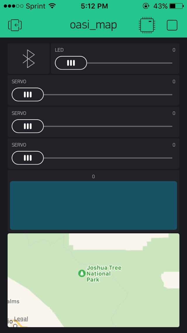
Also adding the image of the current map display.
and an image of what i want it to look like.
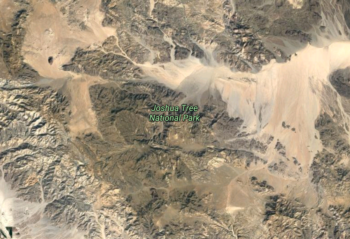
So basically going from map mode to satellite mode in the MapWidget. Is this possible?